GPS – Setup
/
GPS 2D Distance & 3D Range
/
GPS Altitude Relative To Ground
/
Aloft Hobbies
RCdiy
/
Show your support :)
/
Please use my affiliate links
Amazon
Banggood
# Taranis Q X7 OpenTX GPS Setup, Distance, Altitude, Logs and Google Earth (FrSKY GPS)(Aloft Hobbies)
Welcome to another video from RCdiy.ca
This video covers setting up a GPS sensor along with distance from the takeoff location to the aircraft, altitude and logs.
We will also open the logs in Companion to view the GPS tracks using Google Earth.
Please read the documentation for details on what I will be showing you.
A link to the documentation will be placed in the description below this video.
Connect the GPS to the receiver using the S port and then power on the transmitter and the receiver.
From the main view press menu.
Then long press page repeatedly till the telemetry screen is displayed.
Scroll down to discover sensors and press enter.
The GPS coordinates, altitude, speed and date appear in the list of telemetry sensors.
Press enter to stop discovery.
Make sure the GPS sensor is facing the correct way up. Wait a few minutes for it to start sending telemetry.
By default the altitude displayed is above sea level.
To get the altitude above ground the auto offset option needs to be used.
Select the GPS Altitude sensor.
Press enter.
Scroll down to auto offset and press enter.
Press exit.
Now add the altitude to a telemetry view screen.
This is done on the display screen.
Press page to get to the display screen.
Scroll down to Screen one and press enter.
Scroll to select numbers.
Press ENTER
Scroll down to select the first empty field.
Press ENTER
Long Press ENTER to display the context menu.
Scroll to select telemetry from the context menu.
Press enter
Scroll to select the GPS altitude sensor
Press enter
Press EXIT twice to get to the main view.
Long press page to get to the telemetry view screen.
At this stage the altitude displayed is still above sea level.
Long press ENTER
Select reset telemetry
Press enter
Now the altitude is relative to the position of the aircraft when telemetry was reset.
Press EXIT
Now add a calculated sensor to display distance from the aircraft to the location where the GPS was powered on or where telemetry was reset.
Long press page repeatedly to get to the telemetry screen.
Scroll down and select add new sensor.
Press Enter to enter a name for the sensor.
Scroll to change the characters.
Press enter to select a character and move to the next one.
Long press enter changes a character from lower case to upper case and moves to the next one.
Scroll to select the type field and press enter.
Custom changes to calculated.
Scroll and select formula.
Press enter and scroll to select distance.
Press enter.
Scroll down to select the empty GPS Sensor field.
Press enter.
Scroll to select the GPS sensor.
Press enter.
If only a GPS sensor is provide the distances are calculated between the GPS power on or telemetry reset location and aircraft position along the ground. If the aircraft has moved 3 meters horizontally and 4 meters vertically up the distance calculated will be 3 meters. This is because the altitude is not being accounted for.
To account for the altitude we will add the altitude sensor.
Scroll down to select the empty altitude sensor field.
Press enter.
Scroll to select the altitude sensor.
Press enter.
Now the distance calculated and displayed will account for the altitude as well.
If the aircraft has moved 3 meters horizontally and 4 meters vertically the distance calculated will be 5 meters.
Press EXIT twice to get back to the telemetry screen.
Now we will set up recording the GPS coordinates to a log file on the SD card.
Launch Companion.
On the bottom left of the log file viewer window there will be a picture of the earth viewed from space.
If is is not there then make sure you have google earth downloaded, installed and that the path to the executable is configured in Companion's application settings.
Click on the google earth image.
The GPS coordinates will be imported into google earth and displayed.
# --------------------------------------------------
Fpvracer.lt is not the owner of this text/video/image/photo content, the real source of content is Youtube.com and user declared in this page publication as Youtube.com user,
if you have any question about video removal, what was shared by open community, please contact Youtube.com directly or report bad/not working video links directly to video owner on Youtube.com. Removed video from Youtube.com will also be removed from here.

 DeathStroke BambuLab X1C #Shorts
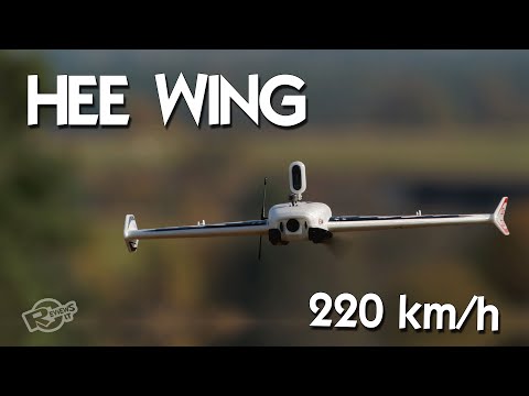 HEE Wing F-01 Ultra Delta Wing 690mm - upgraded Mini AR Wing? Diatone Reaper 690
 Auto moto parkas 2021-11-28 SandBOX