Watch more videos
-
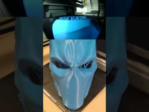 Deathstroke 3d printed wearable mask #shorts
Deathstroke 3d printed wearable mask with X1C BambuLab #shorts #3dprinting #deathstroke #bamb... -
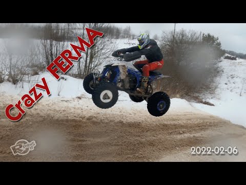 Dirt bike and quadbike event at Crazy Ferma 2022-02-06
Another great winter event for dirt lovers. This time it was really bad weather, frozen fingers,... -
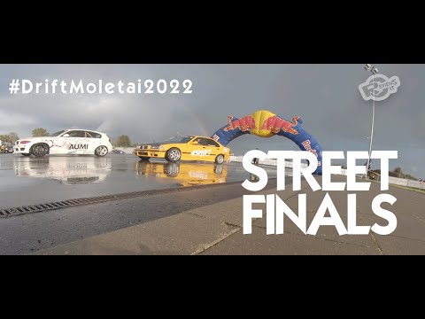 #DriftMolėtai "Street" drift race finals 2022
Happy drift day! Had a chance to be part of Moletai street drift race Finals! #DriftMolėtai grį...