Detail specs and procedure for this mapping task:
UAV: Foxtech Nimbus Tilt VTOL
Max. Flight Time: 50 min.
Camera: Foxtech Projection Photography Camera
Lens:20mm
Camera Pixel: 24mega
Resolution: 4000x6000
Operational Range: 15km
Max.Coverage for 1:500 Mapping in Each Flight: 2 square kilometer
Vertical landing: no need of parachute
Import image and geo tags in processing software
Inject control points (if any)
Ray cloud and projection map can then be generated based on the amount of photos
Where to purchase Foxtech Nimbus Tilt VTOL UAV:
Welcome to communicate/share/suggest mapping/surveillance etc professional applications in Foxtech facebook group: FOXTECH GROUP(/)
Or you can write email to us: [email protected]
========================================================
Know about Foxtech from:
Official Website: /
Facebook: /
Youtube:
RCG: /
Google+:
Fpvracer.lt is not the owner of this text/video/image/photo content, the real source of content is Youtube.com and user declared in this page publication as Youtube.com user,
if you have any question about video removal, what was shared by open community, please contact Youtube.com directly or report bad/not working video links directly to video owner on Youtube.com. Removed video from Youtube.com will also be removed from here.

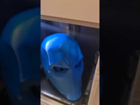 DeathStroke BambuLab X1C #Shorts
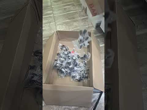 #Shorts massive servo wire attack
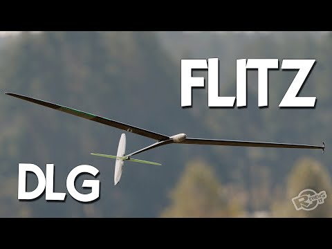 DLG - FLITZ - soaring joy!